


Calving Front Location
Submitted by Arnoud Jochemsen on Fri, 2016-11-18 18:27


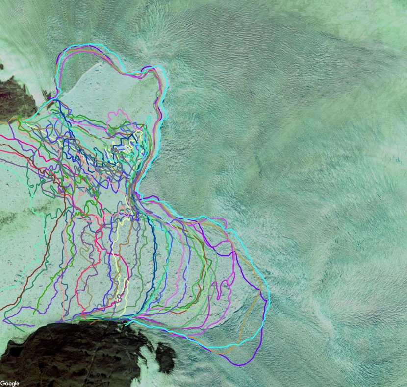
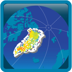
The Calving Front Location (CFL) of outlet glaciers from ice sheets is a basic parameter for ice dynamic modelling, computing mass fluxes and for mapping glacier area change. From the ice velocity at the calving front and a time sequence of Calving Front Locations the iceberg production rate can be computed which is of relevance for estimating the export of ice mass to the ocean.
The calving front location is derived by manual delineation using SAR and optical satellite data. The digitized calving front is stored as vector lines in standard GIS format. Additionally, metadata information on the sensor and processing steps are stored in the corresponding attribute table. In accordance with the URD, the vector files are provided in ESRI shape-file format.
Click here to browse and download Calving Front Location products
Products by ENVEO are also available directly from http://cryoportal.enveo.at/.
