Surface Elevation Change

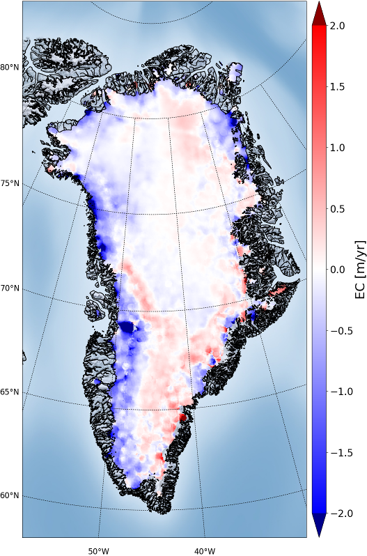
The surface elevation change (SEC) is a direct expression of climate changes, and closely linked to mass balance of the ice sheet. The SEC is a key essential climate variable, and is a direct measure of the imbalance between the atmospheric forcing and ice sheet dynamics. In the Greenland CCI project SEC is derived from present and past ESA radar altimetry missions, and validated by optical data (such as NASA’s IceSat).
The era of ESA altimetry missions was initiated with ERS-1 in 1992, and data from ERS-2, Envisat, CryoSat-2 and Sentinel-3 have contributed to an unbroken time series from then to present. At present there are multiple satellites in orbit (Cryosat-2 and Sentinel-3A and Sentinel-3B) contributing to the time-series; the later are ensured to be continued, with the operational approach of the EU Sentinel program.
The nature of the radar measurements enables surface penetration in the interior parts of the Greenland ice sheet and the radar measures a reflecting surface within the upper 2 meters of the snow cover, rather than the snow-air interface.
As a by-product of the work on SEC products, also a Digital Elevation Model for Greenland has been generated.
Click here to browse and download Surface Elevation Change products

![Science [&] Technology](/sites/default/files/documents/admin/Partner Logos/st_logo.jpg)


